History of Nosey Parker's Temporary Autonomous Zone
Buckminster Fuller had this plan to cover ESTL in a giant dome. He probably looked at the city's history as an industrial suburb of St. Louis and in being familiar with this post war paradigm in major American towns he conceived the Old Man River Project as a way to cover or separate St. Louis’ shadowed conjoined twin from the reality that was setting in. The reality of most industrial suburbs is to be abandoned by a population devoted to inhabitation and taken over by industry, pollution, crime and degenerate business’ not benefiting a healthy community. Here is a place that is condemned by capitalism and a national post world war growth where the trash of utopian cities has collected.
The European townships and official settlements of East St. Louis started before the western neighbor. It was the French and Indians before who bridged the Mississippi and connected trade along it’s banks. The French and then Spanish shared and switched rule over both sides of the river and sought to dislodge the native people. Not until the Louisiana purchase did Europeans separate and place labels of wavering importance on the land east and west of the Mississippi. When Missouri petitioned to enter the Union of states in 1821 it did so along with Maine. Missouri became the 24th and revitalized the sentiment among Southerners that the negro must help the European unconditionally. In order to keep a balance in congress, that is equal representation of slave and free states, Missouri was admitted as a slave state with the exception of anything north of the Mississippi river(32nd parallel). This was known as the Missouri Compromise and was enacted in part to stop the spread of slavery. Since the Compromise we have had a partition between land east and west of the Mississippi. We have seen development and destruction along both sides of the river in accordance to the shift of power and intendment of each city.
When one currently looks across the river from St. Louis and specifically stands at the Mary Meechum Freedom Crossing site we can think of this place and everything within site as connected through a portal of history. We can see this place through the eyes and thoughts of slaves crossing the river to freedom, Buckminster Fuller and his analysis on the future of East St. Louis, Native Americans known as the Missouri, Cahokian, Illinois, Osage and Sioux, Pierre Laclede and August Chateau, founders of St. Louis, or as pre and post world war Europeans vying for business, land, shipping and resources. Everything about this place has been used in one form or another to benefit one man or another with varying degrees of success. Is there a history in this land that builds without depleting any of the marginalized or hasn’t used land for the profit of one and detriment of another.
My concerns with this project started long before I met Brett Williams. Through meeting with Brett I was able to realize some old aspects and set newly acquired interests into motion. Then there has been this positive outgrowth of collaborating with similar ideas. Our interests converged while talking one afternoon in 2004 at my favorite watering hole. I had mentioned an idea I had for a bridge that could connect the two cities of St. Louis and East St. Louis without the use of a structure that brings and takes resources out of one or the other. I was looking for a way to create an exchange without impeeding on the environment. A place that could be built and taken down quickly and bring people into dialogue. I wanted to connect the two cities with a positive non-evasive bridge that symbolized the historical struggles and sought to create a bond without concern for politics, business, race, class, but to allow this to bleed over into either side if those present wanted to discuss such matters. No one was to make off with any material wealth through this exchange...only the wealth of gaining information, a neighbor and possibly friendship. Brett had mentioned a writer named Hakim Bey and said that I should look him up, in particular the work known as Temporary Autonomous Zones. Brett said I had ideas that paralleled this work and that he was interested in lending a hand in developing my initial plans.
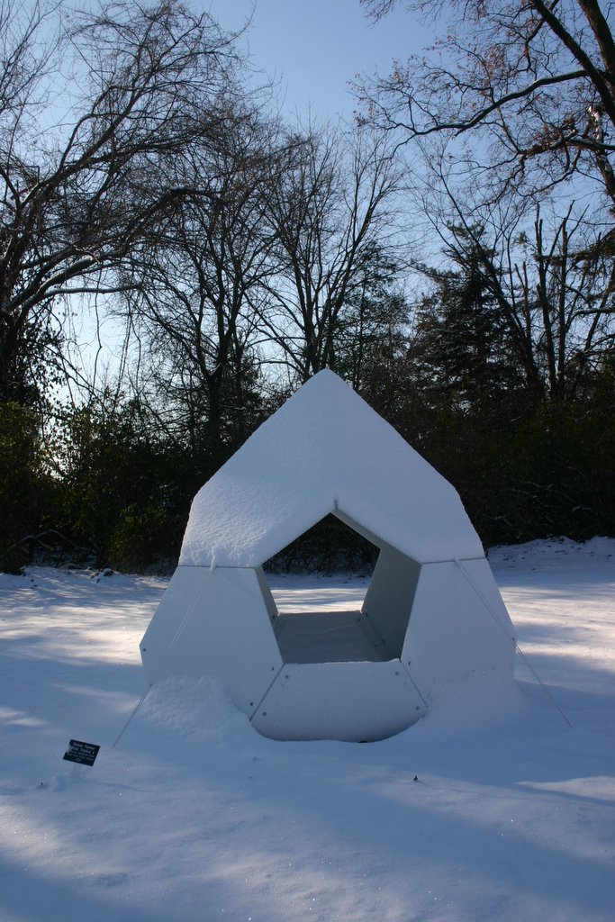
Brett and I began by taking trips to the Mary Meechum site and to the area across the river. We took photos, made sketches and talked about our idea with people we thought could help us realize our project. We made a proposal and models from our early designs and tried to set up meetings with those who could fund and make available the land we wanted for the installation. We wanted site specificity because the Mary Meechum site described a key moment in the history of the struggle between the two cities. We envisioned a utopian architecture housing video wifi on both sides of the Mississippi. Power would be provided by solar and battery configurations. The architectural material would be sustainable and weather proof and we would be able to set-up and take-down within a small amount of time. A “pirate enclave” or artistically known as an interactive guerrilla site.